Friday April 27th… Dear Diary. The main purpose of this ongoing post will be to track United States extreme or record temperatures related to climate change. Any reports I see of ETs will be listed below the main topic of the day. I’ll refer to extreme or record temperatures as ETs (not extraterrestrials)😊. Here is today’s main climate change related topic:
A Cold April
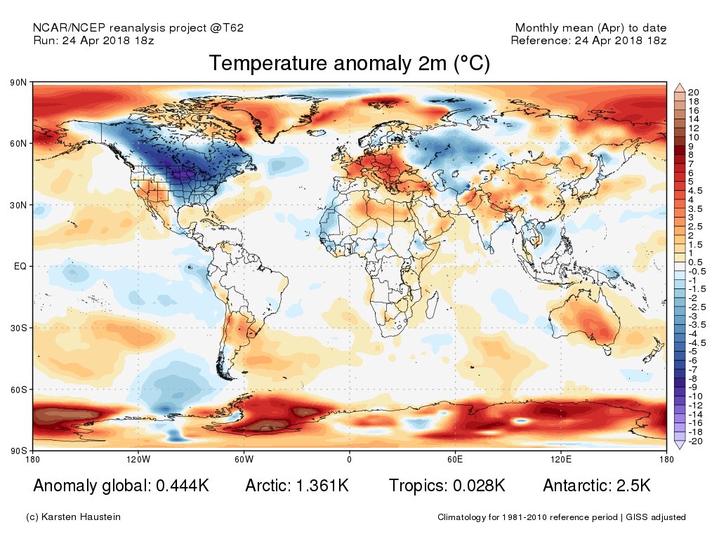
No doubt about it. This month averaged very cold for the Upper Midwest and the nation as a whole, which flies in the face of headwinds that are global warming. It’s the end of yet another month so time for me to present my updated “record score board” of U.S. National Center for Environmental Information record counts. Blue colors represent months with ratios of daily high maxes to minimum records of well below 1 to 1, red well above 1 to 1, and black near 1 to 1. Average lower 48 state ranking numbers are for months and years since 1895 with red 71-124, blue 1-52, and black 53-70. For this data set all monthly ratios of > 10 to 1 DHMX to DLMN or > 10 to 1 DLMN to DHMX are in bold type:

So far for April 2018 we see that the ratio of DHMX to DLMN is approximately 1 to 4.3, which is the lowest since that of November 2014. The ranking for November 2014 was 15th coldest for any November since 2014, a month with a higher ratio of 1 to 2.7 of DHMX to DLMN record counts. Most of the record warmth for April came from the Southwest. Most of the record lows were set in the Upper Midwest, which saw a very cold temperature regime for most of the month. I have no doubt that some Midwest states will see their coldest ranked April since 1895 once NCEI processes temperature averages:
 Bill KarinsVerified account @BillKarins
Barring a large uptick in volcanic activity the world is just about to shake off producing cold anomalies large enough to produce results like that of April 2018 across the United States, unfortunately:


 Mike HudemaVerified account @MikeHudema

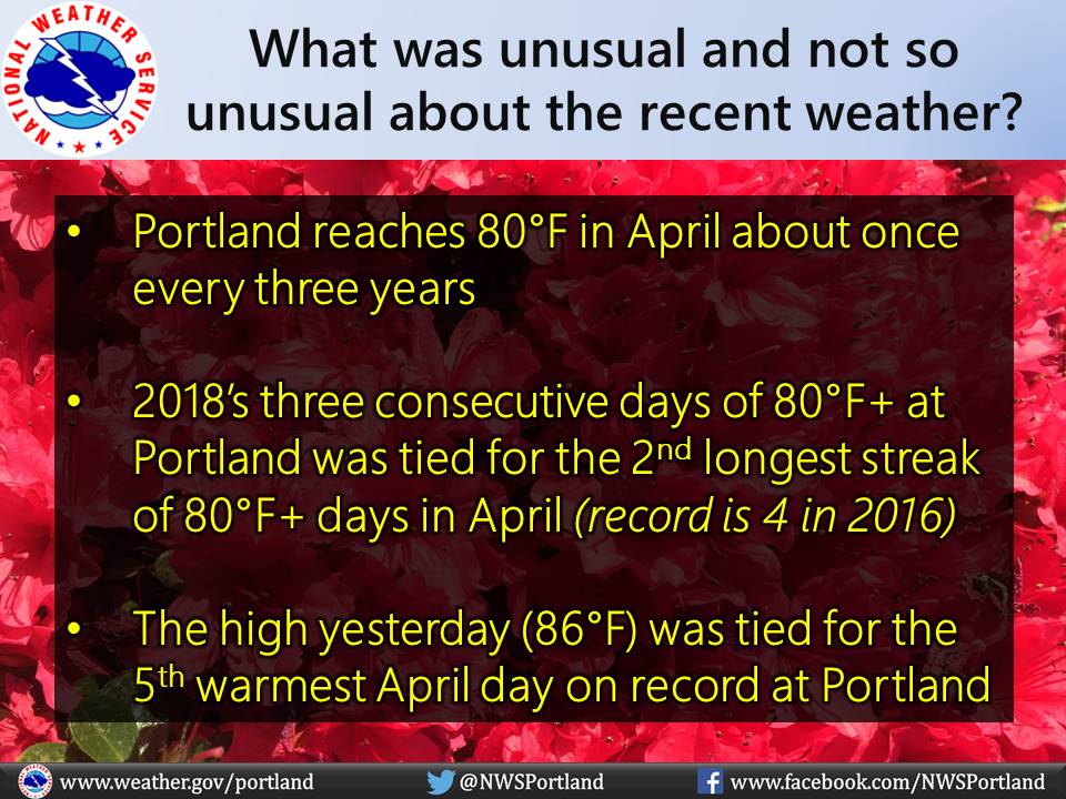
While Portland reaches 80°F in April about once every three years, our recent stretch of three consecutive days of 80°F+ was tied for the 2nd longest streak of 80°F+ days in April in the past ~75 years #pdxtst #orwx

(If you like these posts and my work please contribute via the PayPal widget, which has recently been added to this site. Thanks in advance for any support.)
The Climate Guy

