Friday March 23rd… Dear Diary. The main purpose of this ongoing post will be to track United States extreme or record temperatures related to climate change. Any reports I see of ETs will be listed below the main topic of the day. I’ll refer to extreme or record temperatures as ETs (not extraterrestrials)😊. Here is today’s main climate change related topic:
Early Spring Inundations
March 2018 has been a very active month weather-wise. Heavy precipitation occurred the last few days in California from an episode of the “atmospheric river.” Four strong nor’easters dropped heavy precipitation mostly in the form of snow in the Northeast. One sign of climate change is heavy precipitation since a warmer atmosphere holds and then releases more water. Bob Henson has a good summery of the latest California flood here:
https://www.wunderground.com/cat6/new-director-national-hurricane-center-ken-graham
From the article:
Atmospheric river in California: Coastal Southern California escaped without major flash flooding from the widespread spring storm that brought heavy rain and high-altitude snow across California from Tuesday through Thursday. A few water rescues were reported, and there were widespread mudflows and some road damage, but the storm turned out to be good news for water resources in moisture-starved California. The state saw well-below-average precipitation from October through February, which was the sixth driest such period in 123 years of recordkeeping.
For more on each of these events, see weather.com’s comprehensive summaries of the Southern severe weather, Winter Storm Toby, and the California storm.
We did see some water rescues, as Bob alludes to, such as this:
Watch as a man saves the life of a stranger after his SUV is swept by rushing water near Sand Canyon Road and Road Runner Road in Santa Clarita this morning. https://t.co/rISn0B6RGW pic.twitter.com/8OlUcMAekX
— Austin Dave (@AustinDave_) March 23, 2018
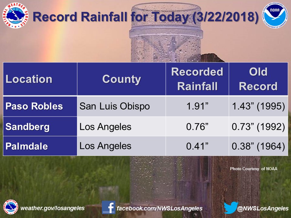
Also some precipitation records in California were set:
 NWS Los AngelesVerified account @NWSLosAngeles
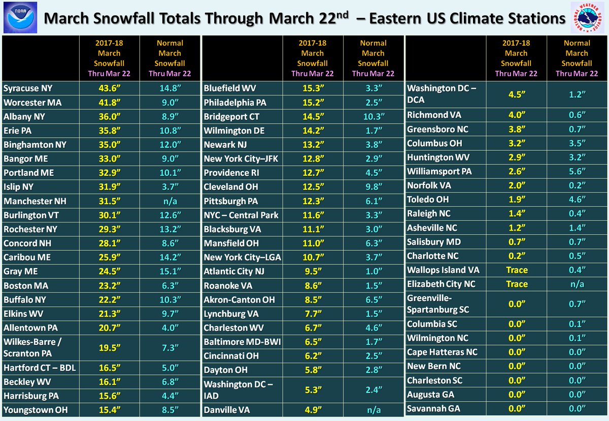
 NWS Eastern RegionVerified account @NWSEastern
 Radiant Solutions | Weather Desk @Radiant_Weather
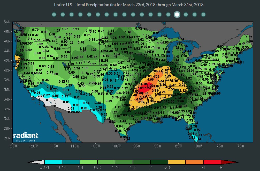
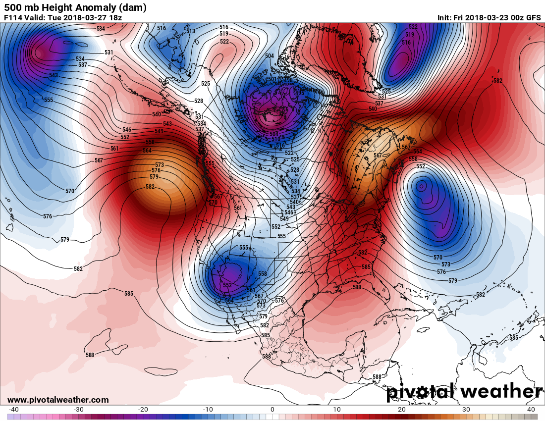
Here is the synoptic setup for next week: A slow moving 500 millibar trough will be moving into the Plains:
The associated front looks very wet:

The key next week for localized flooding versus catastrophic flooding will be how fast the front moves from the Plains into the East. This time of year fronts move relatively fast across the CONUS. I have a hunch or educated guess that a sign of climate change in spring is blocky patterns aloft leading to some slower moving fronts. We will definitely keep tabs on this system.
………………………………………………………………………..
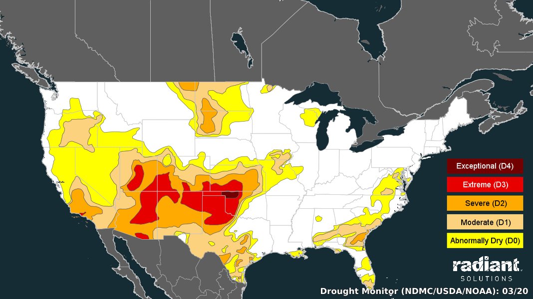
Noting the southern Plains drought that is exactly where our next set of ETs may come from:
 Robert Fanney @robertscribbler
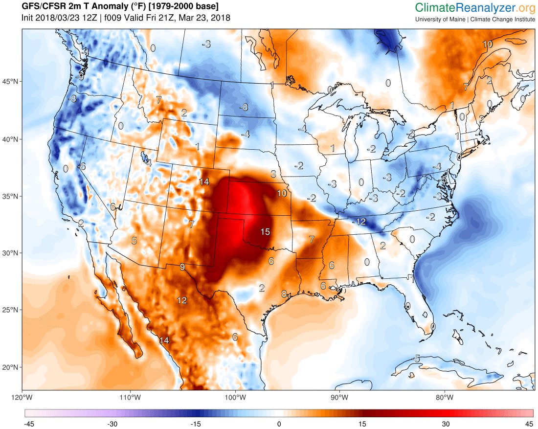

If you thought it felt warm the past few days you are correct! Lubbock set new high temperature records yesterday and today. Yesterday we reached 90 breaking the record of 87 set in 2016 and today we reached 89 breaking the record of 87 set in 2015. #lubwx
The Climate Guy