The main purpose of this ongoing blog will be to track planetary extreme or record temperatures related to climate change. Any reports I see of ETs will be listed below the main topic of the day. I’ll refer to extreme or record temperatures as ETs (not extraterrestrials).😉
Main Topic: When A Heatwave Intersects The Aftermath Of A Hurricane…The Awful State Of Louisiana This Week
Dear Diary. As my readers know, I’ve been naming and categorizing heatwaves this year for the United States. A heatwave doesn’t get a name unless it achieves a CAT3 level. That’s when National Weather Service heat advisories are in effect and temperatures approach record levels and/or fatalities from heat start to get reported. Unfortunately such may be the case in New Orleans the next few days in the wake of Hurricane Ida.
Actually New Orleans will only experience maxes no warmer than the low-mid 90s through the end of this week with typical heat index values around 105°F, which are only slightly above average for the first week of September. Even the poorest of residents has access to air conditioning to get comfortable in such heat. The problem is that in a city splintered by a powerful hurricane there will be no power for the next several days. Matters are even worse to the south of the city where infrastructure was damaged so badly that power won’t be restored for weeks. Since this is the case, we may have the next Greek named heatwave on our hands…Iota.
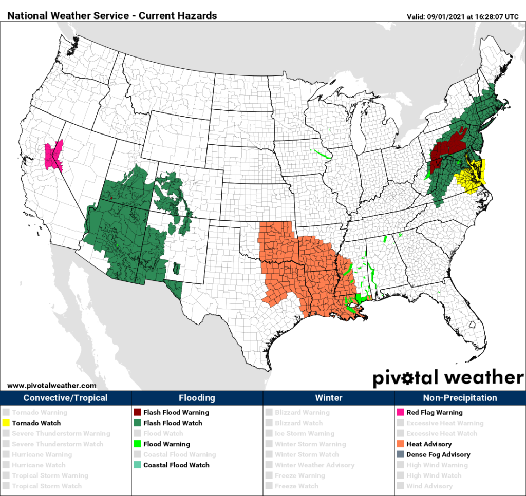
This morning we saw NWS advisories in the south-central U.S, that would be typical for a borderline CAT1/2 heatwave:
I do fear that we may have additional fatalities from Ida just from the heat alone. Since dangerous levels of heat will be in southeast Louisiana with not much relief in sight, it would behoove residents to temporarily abandon their homes and seek shelter in a cool environment. If people can’t go elsewhere, or are not willing to do so, authorities should provide ice and water.
Here is more information:
Aug 31, 2021
New Orleans Facing 105-Degree Heat Index As City Remains Without Power

I’m a news reporter for Forbes, primarily covering the U.S. South.
Southeast Louisiana is now dealing with dangerous heat indexes possibly topping 105 degrees, while more than a million customers remain without power, with no clear time line for restoration two days after Hurricane Ida devastated the area.

Big Chief Darryl Montana stands holding a brick from a collapsed building on August 30, 2021, after … [+]BRANDON BELL/GETTY IMAGES
KEY FACTS
All of southeast Louisiana, along with portions of southern Mississippi, is under a heat advisory until 5 p.m. CDT for heat index values that could reach 105.
Another heat advisory will be in effect from 10 a.m. to 5 p.m. on Wednesday, when forecasters say the heat index could rise to 106.
For those without generators, there will be little relief from the heat, since almost all businesses are closed and resources like ice will be very hard to come by.
Keeping hydrated will also be critical, but the storm compromised most major water systems, leading to either complete water outages or boil-water advisories over most of the area.
CRUCIAL QUOTE
“Drink plenty of fluids, stay out of the sun and check up on relatives and neighbors,” forecasters with the New Orleans National Weather Service office said.
WHAT TO WATCH FOR
Damage assessment is just getting under way as roads are cleared in Louisiana. Some power has started to be restored in suburban areas outside of New Orleans that are north of Lake Pontchartrain, but there are concerns of very long-term outages—perhaps weeks, at least—in the highly populated areas south of the lake that include the city itself. The storm cut off the city from all eight sources of outside power, and notably destroyed a 400-foot-tall electrical transmission tower to the west of the city. Entergy, the electric supplier for the city, is taking at least four days just to do assessments, but the company has said 20,000 electrical workers will push in to start repairs once it figures out a plan for getting the lights back on.
KEY BACKGROUND
Hurricane Ida made landfall on Sunday near Port Fourchon, Louisiana, which recorded a peak wind gust of 172 mph as the storm pushed through. Ida’s maximum sustained winds were estimated at 150 mph, tying it with Hurricane Laura from last year and the 1856 Last Island hurricane as the most powerful storms to ever hit the state of Louisiana. The storm largely maintained intensity as it moved inland over marshland in south Louisiana, taking a jog in track to the east late Sunday evening that brought some of its worst impacts directly into the New Orleans area. The suburban LaPlace community just to the west of the city took a direct hit from the hurricane, which was completely flooded from Ida’s storm surge, causing some residents to scramble into attics to escape the waters. Improved levee structures surrounding the city itself prevented the catastrophic failures that flooded 80% of New Orleans during Hurricane Katrina in 2005, leaving the city mostly impacted by wind damage during this latest hurricane.
TANGENT
Interstate 10 between New Orleans and Baton Rouge, Louisiana, is completely closed to traffic on Tuesday, as it’s reserved for emergency vehicles only, meaning a major artery is now closed to those seeking to leave the city amid power outages.
FURTHER READING
I may pull the trigger on naming Iota depending upon what I see later today.
Also:
Here are notes on August climatology:
Here is more climate and weather news from Wednesday:
(As usual, this will be a fluid post in which more information gets added during the day as it crosses my radar, crediting all who have put it on-line. Items will be archived on this site for posterity. In most instances click on the pictures of each tweet to see each article. The most noteworthy items will be listed first.)
Now here are some of today’s articles and notes on the horrid COVID-19 pandemic:
(If you like these posts and my work please contribute via the PayPal widget, which has recently been added to this site. Thanks in advance for any support.)
Guy Walton “The Climate Guy”